2026: Methane Emitting Infrastructure and Activity Mapping (EDF)
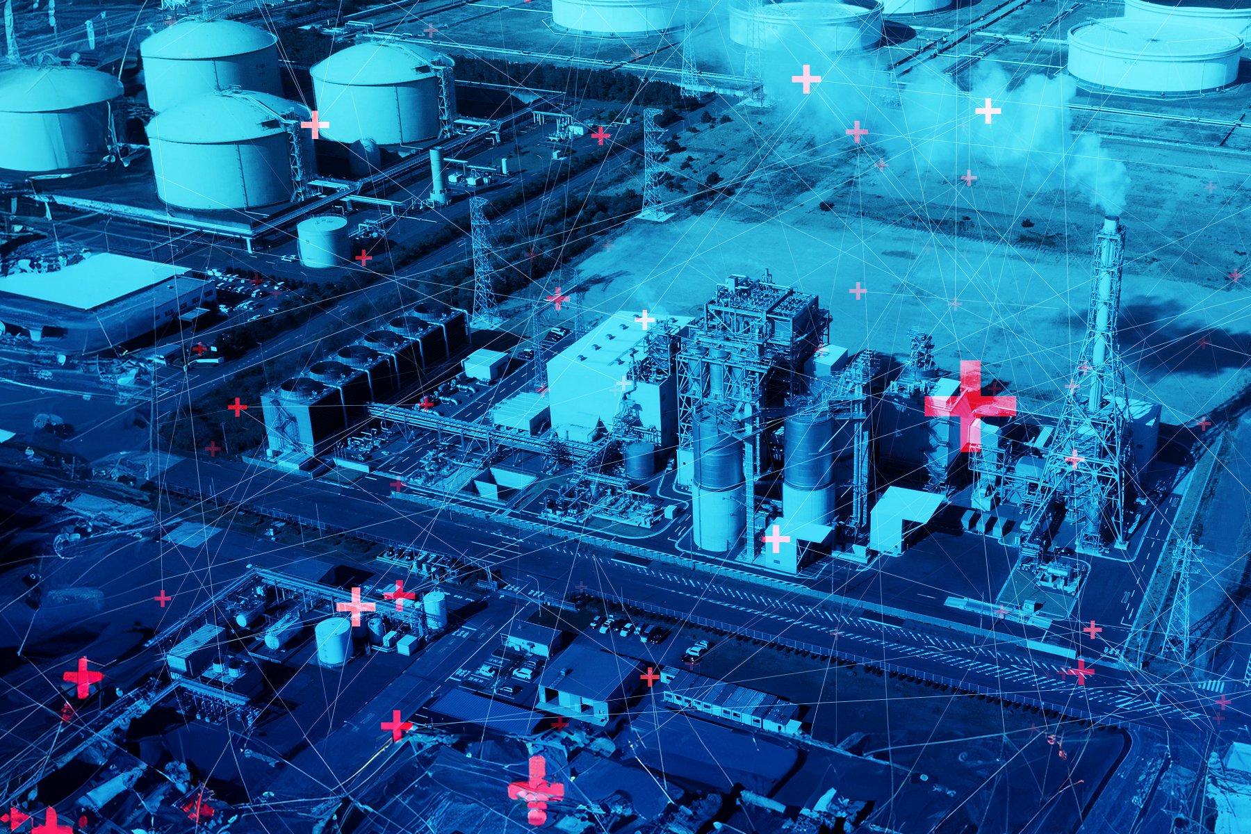
This project aims to map methane-emitting infrastructure and activity across China using two key approaches: high-resolution satellite imagery and machine learning to identify methane-emitting infrastructure on the ground; and publicly available data sources (e.g., peer-reviewed studies, government yearbooks) and web scraping to extract methane-related activity data. Our goal is to create a comprehensive geospatial dataset of methane emissions sources, including the oil and gas supply chain, coal mines, wastewater treatment facilities, landfills, dairy farms, rice paddies, and wetlands. This work is critical for measurement-based methane source attribution, emissions tracking, and ultimately for supporting the development of effective methane mitigation policies.
Cornell: Bharath Hariharan (Cornell Bowers Computing and Information Science / Computer Science)
EDF: Donglai Xie (Senior Scientist II, China & Canada Methane); Yuyan Cui (Methane Scientist)