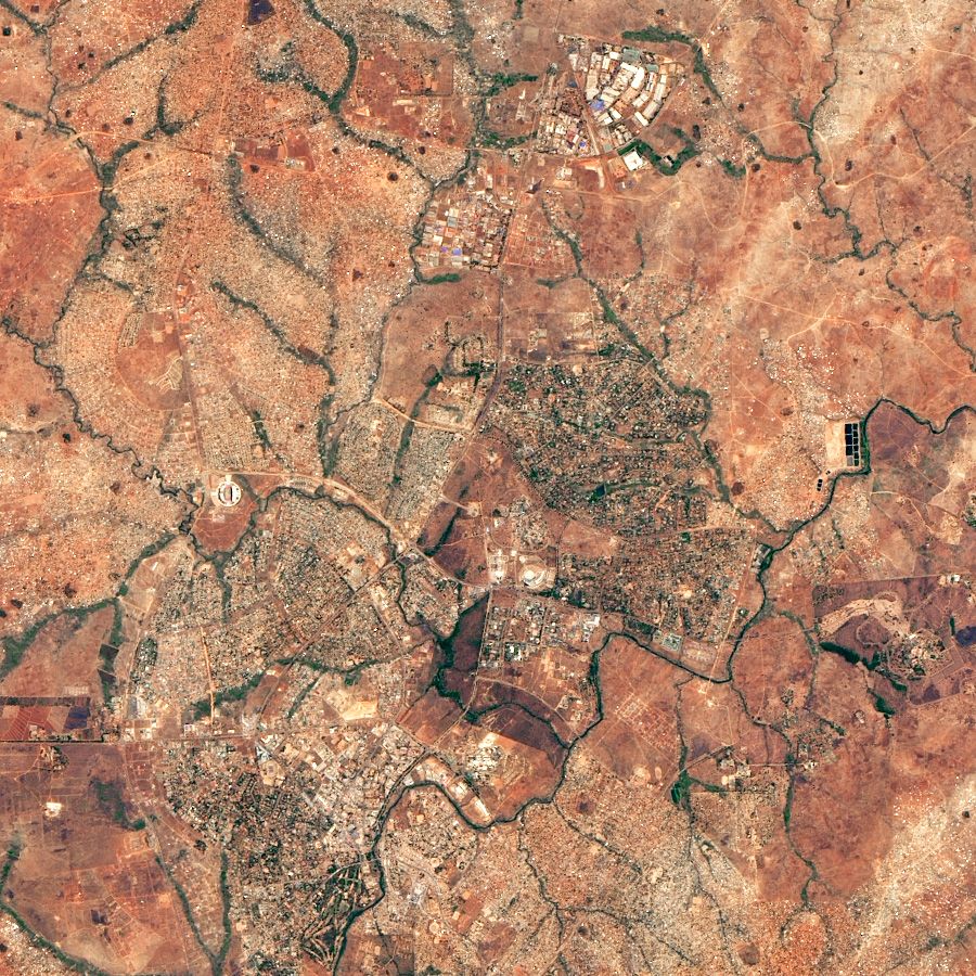
2022: Mapping Poverty, Natural Hazards, and Critical Ecosystem Services for Equitable and Sustainable Development
A multi-disciplinary team will harness big data, machine learning, and advances in poverty measurement to inform policy and investment agendas supporting equitable and sustainable development in low- and middle-income countries where threats to nature and human wellbeing are most critical. The researchers will pilot a new machine learning approach to estimate policy-relevant structural poverty measures at high spatial resolutions and demonstrate the transformative potential of such data products for research and decision-making around sustainable development, disaster risk reduction, and environmental conservation. The findings will inform the work of partners Conservation International, the Natural Capital Project, SPRING, and the World Wildlife Fund.
[This project received an Office of Engagement Initiatives supplemental grant.]
Investigators: Chris Barrett, David Matteson, and Stephan Schmidt
(Photo Credit: USGS/NASA Landsat)
